Geography · Ch 6 — Natural Hazards and Disasters
Landslide Vulnerability Zones
Landslide Vulnerability Zones
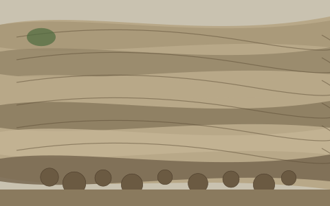
The diagram is a close-up of a hillside that has already failed, and it is built to show you the anatomy of a landslide scar rather than a whole mountain. The dominant feature is a large, bare slope where the soil and vegetation have been stripped away, exposing the earth and rock beneath. That exposed face is not smooth — it is drawn with distinct horizontal or slightly tilted layers, showing the striated strata of the slope. This layering is the key visual clue: it tells you the hillside was made of alternating beds of soil, weathered rock, and harder rock, and that the slide sheared off along or across these layers.
At the base of the slope, the diagram shows a pile of loose rock and debris that has accumulated. This is the material that broke away from the scar above and came to rest at the foot of the hill. The contrast between the clean, layered scar and the jumbled debris pile is deliberate — it shows the two ends of the same process: the source zone where material detached, and the deposition zone where it settled. There are no arrows, labels, or panels in the diagram; it is a single, uncluttered view, and the teaching point is carried entirely by the visual contrast between the intact layered slope and the chaotic rubble below. …
Landslides do not strike everywhere with equal force. The same hill slope that is stable in one region can be a death trap in another, because the combination of rock type, rainfall, slope angle, and human activity decides how vulnerable a place really is. On this basis, the country is divided into four landslide vulnerability zones, each with its own set of conditions and examples.
Very High Vulnerability Zone
This is the most dangerous category, reserved for terrain that is geologically young, tectonically restless, and often soaked by heavy rain. The highly unstable, relatively young mountainous areas of the Himalayas and the Andaman and Nicobar Islands fall here, along with the steep, high-rainfall slopes of the Western Ghats and the Nilgiris. The north-eastern regions are included too, as are areas that experience frequent ground-shaking from earthquakes. What pushes a place into this top zone is not just nature — intense human activity, especially the construction of roads and dams, adds to the instability and makes landslides far more likely.
High Vulnerability Zone
The conditions here are almost identical to those of the very high zone. The only real difference is the combination, intensity, and frequency of the controlling factors — meaning the same forces are at work, but they do not line up as dangerously or as often. All the Himalayan states are included in this category, along with the states of the north-eastern region, with one notable exception: the plains of Assam are left out, since flat ground does not slide the way hill slopes do.
Moderate to Low Vulnerability Zone
These are areas where landslides do occur, but less frequently and with less severity. Regions that receive less precipitation, such as the Trans-Himalayan areas of Ladakh and Spiti in Himachal Pradesh, fall here. So do the undulated yet stable relief and low-precipitation areas of the Aravali range, and the rain shadow areas of the Western and Eastern Ghats and the Deccan plateau. A separate and important point is made about mining: landslides caused by mining and subsidence are most common in the states of Jharkhand, Odisha, Chhattisgarh, Madhya Pradesh, Maharashtra, Andhra Pradesh, Karnataka, Tamil Nadu, Goa, and Kerala. Here the trigger is not rain or earthquakes but the ground collapsing under the weight of human excavation.
Other Areas …
Based on the past history of the geological and geomorphic agents like weathering, water, slope, precipitation, vegetation and human activities, India can be divided into the following landslide vulnerability zones.
Very High Vulnerability Zone: this zone includes areas that are highly unstable, relatively young mountainous areas of the Himalayas and Andaman and Nicobar; areas that experience heavy rainfall with steep slopes -- Western Ghats and Nilgiris; the north-eastern regions comprising all the seven sister states; areas that experience frequent ground shaking due to earthquakes; and areas with intense human activities, particularly those related to construction of roads, dams etc.
High Vulnerability Zone: this includes areas that are similar to the very high vulnerability zone, but the frequency and intensity of the causative factors, such as rainfall, seismicity and human activities are relatively less. All the Himalayan states and the north-eastern states, except the plains areas, come under this zone. …